Driving late at night is not my favorite way to travel, but it does guarantee a sense of wonder when you wake up in the morning. The feeling may have been amplified this time as we got up in Bar Harbor and stumbled down to breakfast at the Bar Harbor Inn, which just so happens to be plastered with windows facing the north Atlantic. After perusing a gargantuan continental breakfast, we took our trays and set ourselves up in a pair of Adirondack chairs out on the porch. As we munched on fresh berries and bagels, tour boats unloaded passengers, lighthouse tour boats motored out into the bay, and the harbor teemed with activity.
Despite the wonderful breakfast, a bout of dehydration struck suddenly. My intake post-Katahdin hadn’t been up to snuff and I hit a wall somewhere after my second round of toast, resulting in a quick nap in the room before checkout. Feeling somewhat replenished, we headed for the visitors center for the all-important National Park stamp. The trip ended up including a fifteen-minute documentary that quite effectively transferred the responsibility of stewardship of this magical place to its visitors. Feeling somewhat inspired, we headed for the park loop road.

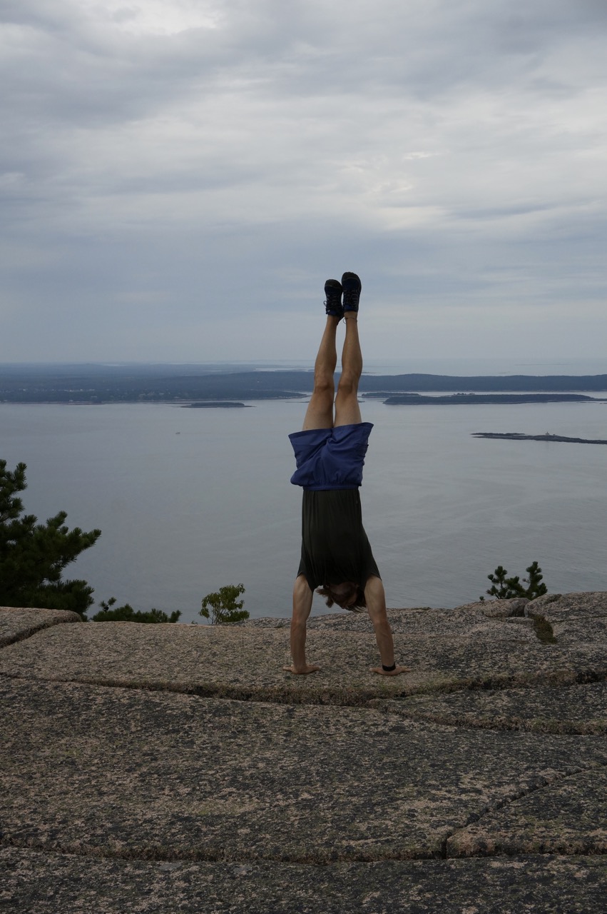
Encircling the eastern portion of Acadia, the park loop road was a marvel of the age of the automobile. Its slow, meandering roads are fastidiously maintained and make Acadia exceedingly accessible to the average motorist. Alternatively, the park also has miles and miles of carriage road set aside for cyclists and pedestrians, as well as hundreds of miles of hiking trails. A few of those trails take after the European tradition of via ferrata trails. Although the name conjures images of the Italian Dolomites (the phrase literally means “iron road” in Italian), similar, near-vertical trails can also be found in alpine areas of France, Switzerland, Austria, Germany, and even other areas of the United States. These trails should be considered fixed climbing routes rather than hiking trails, as they really do require participants to haul themselves up vertical faces using iron rungs, some even have lines to hook into! Created using thick iron staples, handles, and studs, these paths can overcome just about any cliff, boulder, or other obstacle in their path. They do require a certain familiarity with vertigo and are not recommended for anyone with a proclivity for acrophobia. Ever since hiking Angel’s Landing in Zion, I have had a serious love affair with them.

After a short stint on the park loop road, we parked at the base of Champlain Mountain. The Precipice Trail snaked up above us, traversing the sheer granite face that led up to the 1058’ summit. From boulder hopping to iron ladders to granite tunnels, we inched our way up the face, constantly gawking at the view growing behind us. Near the end, we followed Bates cairns over the bald summit, imagining how useful they would be in dense fog.


The trail down was steady and gradual, especially when compared to our ascent. Slowly, our bird’s eye view flattened and the islands, ships, and buildings dropped out of view and we re-entered the deciduous and coniferous trees that blanketed the lower sections of the peak. Soon, we settled back into Sam and headed into town for dinner. Café This Way turned out to be less vegan-friendly than advertised, but their fried brussells sprouts and coconut-chia pudding made up for their shortcomings in the entrée department. Sleep came quickly once we returned to the Blackwoods Campground.

One Response
Jean Cronon
I am glad to be in touch with you and Nan again. I don’t remember those trails in Acadia . Of course, I am the kind of person who is terrified when it comes to heights that you were in. The Group we hiked with stayed on the official walking trails. Stay safe. Love to both of you, Jean