With our time in Death Valley drawing to a close, my mom and I prepared for one last adventure in the park. Deterred by the ranger’s warnings of snow and ice on the upper reaches Telescope Mountain, we decided not to tackle the mountain. Instead, we followed a similar road up into the highlands of the Panamint Range. Climbing higher and higher above the valley floor, the vegetation began to shift dramatically. All around us, the hills looked as if they had been blanketed in soft velvet. Our lonely stretch of road curved lazily through angular canyons, temporarily dropped into steep valleys, all the while presenting turnoffs onto unnamed, undeveloped roads stretching into the horizon. Out here, wherever the mind wandered, the body could follow. Endless possibility stretched in all directions.
Bypassing many of these intriguing options, we continued till the low-lying shrubs transitioned into shady trees. Marveling at the shifting vegetation, the row of bizarre beehive-like structures caught us entirely off guard. These, of course, were the charcoal kilns that we had driven so far to see. Perched high in Wildrose Canyon, this set of ten beautifully constructed (and preserved) kilns is the best example of surviving western charcoal kilns today. The key to their immaculate preservation is that they were in use for about two years, not long enough to be trashed by the rigors of burning charcoal. Constructed in 1877, these kilns provided much needed fuel for the lead-silver smelters of the Modock Consolidated Mining Company that operated about twenty-five miles away. To this day, we do not know why the Modock Company took them offline, but these abandoned kilns feel as if the intervening century hasn’t even begun to erode this unexpectedly beautiful artifact of the Valley’s industrial past.


Our tour of Death Valley’s extractive industries, however, was not yet complete. Throughout the nineteenth and twentieth centuries, opportunists searched this geologically diverse valley for gold, silver, lead, zinc, borax, copper, mercury, tungsten, and many other minerals that might prove profitable. Having toured the borax mines of the valley floor the day before, we wandered down one of those dirt roads until we found the Eureka Gold Mine. Beginning in 1907, Pete Aguereberry held the claim to the land and worked his claim for almost forty years. The most visible remnant of the mine is the cashier mill that Pete used to extract gold from the ore that he removed from the mine. After some searching, I stumbled upon a pair of railroad tracks leading out of a tunnel carved straight into the earth. Long ago, the park had barred the entrance to the mine, but anyone with an eager imagination could peer into the shadowy depths and wonder about the network of twisting tunnels and passages below.


Under the oppression of rising temperatures, we returned to the car. All that remained for us to do was to exit the park the way that we had entered. This might not sound very exciting to some of you, but we had arrived late at night. Now, we had the opportunity to ogle the scenery of the Panamint Mountains as we followed switchback after switchback down into the Panamint Valley and then climb once more, following similar switchbacks, into the Argus Mountain Range. Not only did that drive solidify the epic beauty of Death Valley, but also it demonstrated beyond the shadow of a doubt how isolated it is from the outside world.

Before we leave Death Valley though, I feel the need to explain some of the finer points of our visit. In reality, Death Valley’s isolation is similar to that of Yosemite Valley’s. Geographically speaking, many hard miles separate you from the luxuries of Las Vegas or Los Angeles. Setting aside its physical isolation, Death Valley is a massively developed park. Within the boundaries, there are multiple towns (Furnace Creek, Stovepipe Wells, Panamint Springs, etc.), multiple gas stations, a Jeep rental service, two airports, a golf course, multiple hotels, and fully operational auto shop. I wonder if all that development exists purely to make the park seem hospitable to visitors. The amenities remind visitors of civilization in one of the most severe places I have ever visited.

However stark Death Valley may seem, it has supported human life for hundreds of years. Amidst the airports and hotels, there lies a community of almost three hundred Timbisha Shoshone. Death Valley is the ancestral home of the Timbisha and many continue to call it home to this day. To them, this sacred valley is Tümpisa, meaning “rock paint.” Prospectors and settlers moving westward in the mid-nineteenth century unknowingly wandered into the valley, with devastating results. According to legend, the survivors declared “Goodbye, Death Valley” as they summited the Panamint Range. From that point forward, the valley, and its many attractions have been mired in fatalist nomenclature. Whether or not that fairly represents the ancestral history of the Timbisha, it serves as an easy reminder of the treatment many native peoples have suffered at the hands of American expansion.

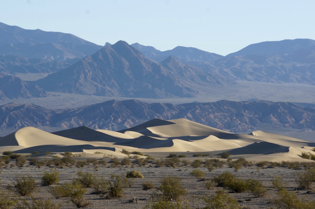
Death Valley challenged many of my previously held suppositions about arid beauty. I have always been drawn to deep greens of healthy forests and the captivating blues of deep, prismatic lakes. Their cooler climates suit my temperament. The environmental risks are familiar. I feel at home deep in a forest, high on a mountain, or out on a lake. Before this trip, I had very little familiarity with the wonders and the dangers of the desert. Life looks different in the desert. The earthen palette feels muted. The air sucks the moisture from each breath. The sun relentlessly seeks to torch any exposed skin. Despite all of those somewhat oppressive aspects of desert exploration, Death Valley proved unbelievably captivating. The desert highlights the beauty of the earth at its most barren, but also at its most resilient. I wouldn’t say that it made a desert dweller out of me, but I will never write off the virtues of the world’s hotter and drier places.
As we crested the Argus Range, a menacing wall of jagged, snow-capped peaks rose on the horizon. Two days ago, we had visited Badwater Basin, the lowest point in North America. Now, the Sierra Nevada Mountains loomed in front of us, showcasing the highest point in the continental United States: Mount Whitney. California really is a wonderland of diverse, natural beauty.

2 Responses
Jean Cronon
This visit to Death Valley opened up my eyes to it’s History of which I never knew. I was especially interested in the kilns and the business and mining for gold . I also admire you for how easily you can change your mind when the weather doesn’t cooperate. Have fun!
Mary Kelly
Who knew? Thanks for sharing this with all of us.
Mary